Lidar
LiDAR, which stands for Light Detection and Ranging, is a remote sensing technology that uses laser light to measure distances and create detailed three-dimensional maps of the Earth's surface. It works by emitting laser pulses towards a target and then measuring the time it takes for the reflected light to return to the sensor. This data is then processed to generate precise, high-resolution 3D models of the terrain and various objects. LiDAR is widely used in various fields, including geography, archaeology, forestry, autonomous vehicles, and urban planning, due to its ability to provide accurate topographical information even in densely vegetated or obscured areas.
The collection of LiDAR data involves the use of airborne, terrestrial, or mobile platforms equipped with LiDAR sensors. Airborne LiDAR systems, mounted on aircraft or drones, are commonly used for large-scale mapping projects. They scan the ground with laser pulses as the aircraft flies over the survey area, collecting data points that represent the Earth's surface and any objects on it. Terrestrial LiDAR, often mounted on tripods or vehicles, is used for detailed surveys of specific sites, such as buildings or archaeological digs. Mobile LiDAR systems, attached to moving vehicles, can map transportation corridors, such as roads and railways, in great detail. The data collected is processed using specialized software to produce detailed maps and models, which are invaluable for analysis and decision-making in a wide range of applications.
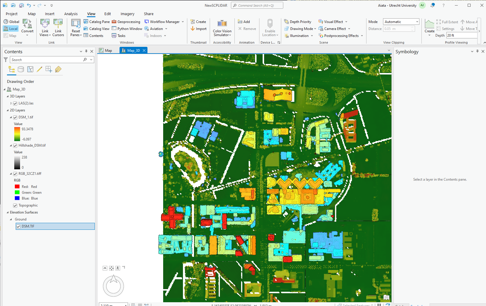
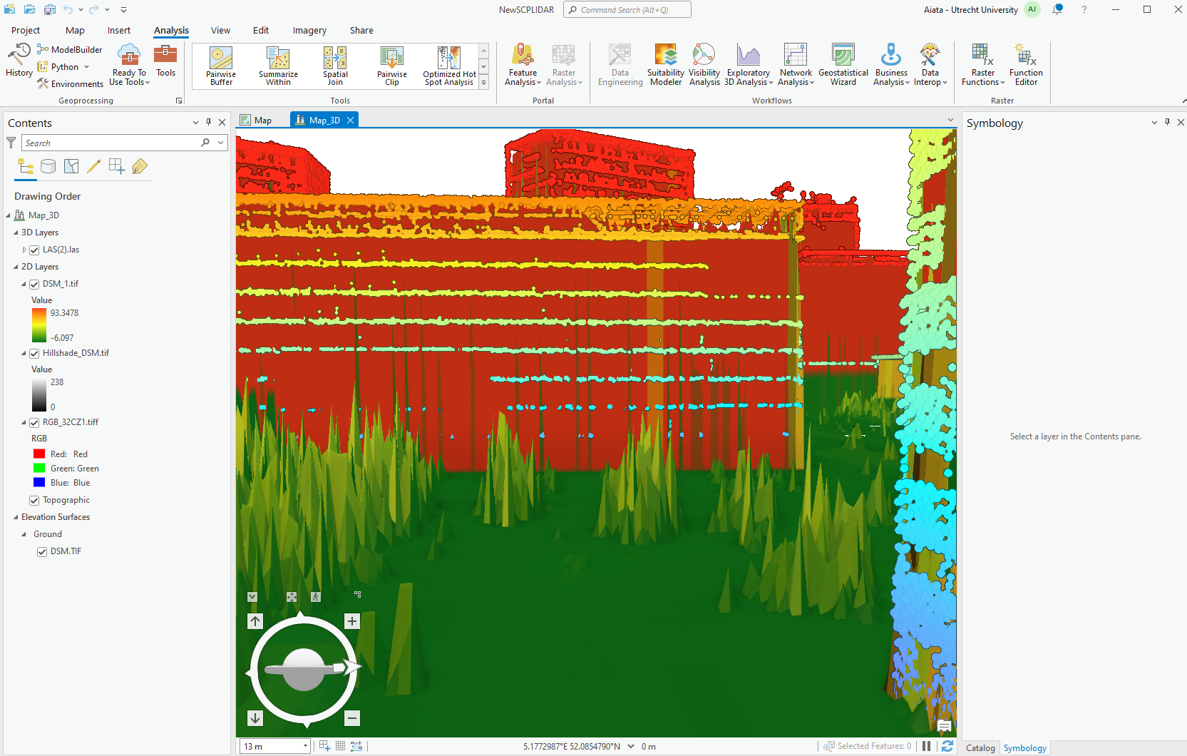
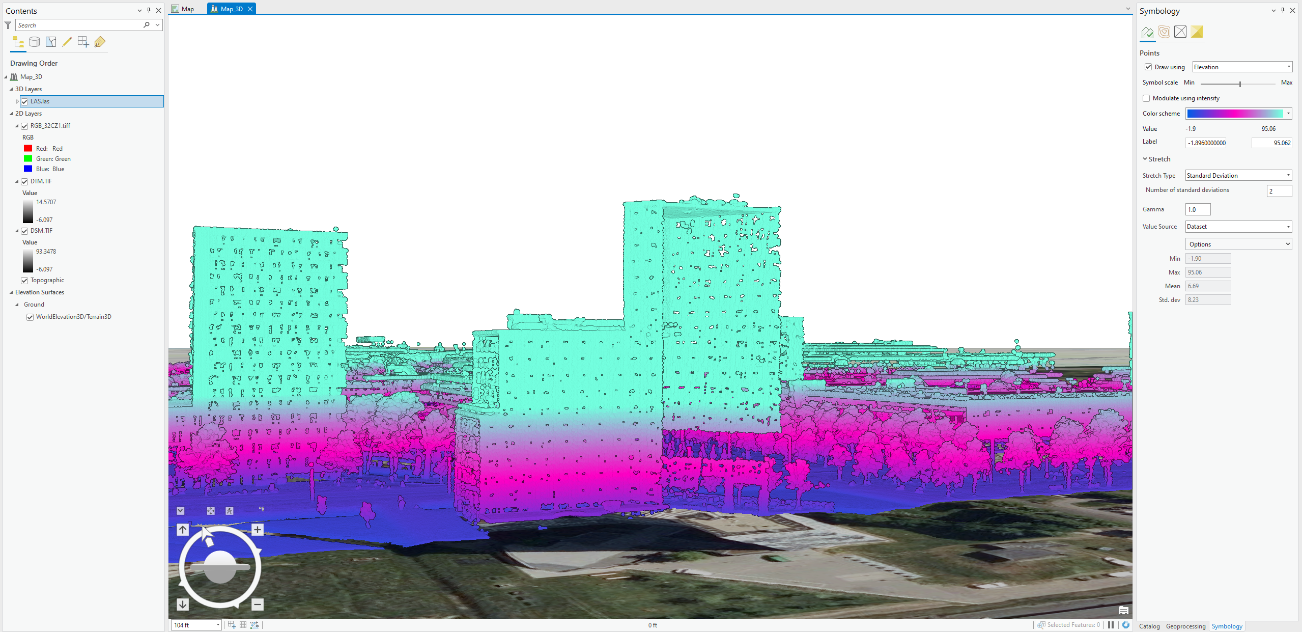
Unfortunately, due to processing errors of the PCs at my disposal and the size of the LiDAR data at my disposal. It was not possible to upload my visual maps interactively to my website. Even converting the data points to readable LAS files took up all the space on the hard drive. As they contracted of over 50million data pints to assemble the Z coordinates which allow the map to be visualized in 3D. For this reason, I have simply provided screenshots which I captured throughout the process of making the map. Thishelps demonstrate some of the skills which I was able to carry out, such as measuring for the heights of classifies objects, removing and classifying them, editing their symbology and much more.